Discover the Best Places to See Cherry Blossoms in Burnaby This Spring
From Parks to Neighbourhoods: A List of the Top Spots to Admire Cherry Blossoms in Burnaby
Looking for the best spots to see cherry blossoms in Burnaby this spring? Look no further! We’ve compiled a list of the top locations to admire these beautiful blooms. Please remember to respect private property and admire the trees from a distance.
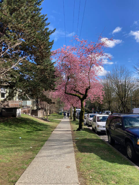
- Cherry Blossom Gardens: Take a stroll down this aptly named street to capture some Instagram-worthy photos. Address: 1899 Rosser Ave, Burnaby.
- Burnaby Mountain Park: Catch the cherry blossoms in their full glory during golden hour. This park offers stunning views of Burnaby and is one of the best spots in the city to admire the blooms. Address: 100 Centennial Way, Burnaby.
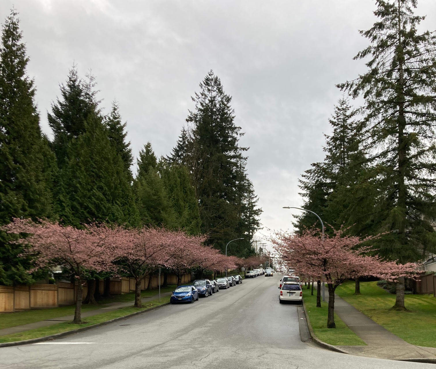
- Southoaks Crescent: This street is lined with cherry blossom trees and conveniently located near the Nikkei National Museum. Parking is available on the street. Address: 6688 Southoaks Crescent, Burnaby.
- Edmonds Park: Walk down the paved path surrounded by cherry blossoms and soak up the spring sunshine. Address: 7433 Humphries Ave, Burnaby.
- Deer Lake Park: Though this park doesn’t have the most cherry blossom trees, it offers a beautiful grassy area for a spring picnic under the trees. Address: 5435 Sperling Ave, Burnaby.
- Waverley Avenue: Take a walk down this South Burnaby street lined with cherry blossom trees, but be respectful of private property. Address: Start at Waverley Ave and Victory Street.
- Nelson Avenue: This street boasts several blocks of cherry blossom trees that are hard to miss. Don’t forget to pull over and admire them up close. Address: Start at Waverley Ave and Victory Street.
- Ron McLean Park: Bring your kids to this park with a small play area while you admire the cherry blossom trees. Address: 7820 Hedley Ave, Burnaby.
- Burnaby Civic Square: Relax in this park with a coffee and a book while enjoying the cherry blossom trees. Address: 6100 Willingdon Ave, Burnaby.
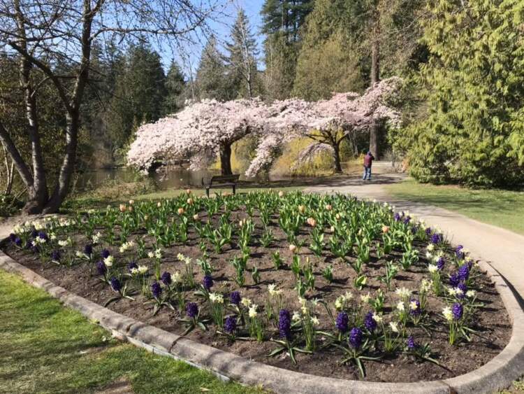
- Central Park: Check out the pretty pink blossoms near the Upper Pond near the pitch and putt course. Bring a picnic lunch and enjoy a sunny day at the park. Address: 3883 Imperial St, Burnaby.
To read more local news and updates please check our BLOG PAGE
To view Geoff Jarman’s Listings CLICK HERE
Tags: cherry blossoms, cherry blossoms in Burnaby, real estate Vancouver, Vancouver real estate, Vancouver realestate, home sales, Vancouver homes sale, house prices, housing prices, house buying, real estate Vancouver market, Vancouver market, real estate agent Vancouver, Burnaby realtor, Geoff Jarman, Geoff Jarman top Burnaby realtor